
 The
Maritime Provinces Spatial Analysis Research Centre (MP_SpARC) is a
computer-based, cross-discipline unit dedicated to spatial analysis using
geomatics technologies. It was opened in 2003 with funding from the
Canadian Foundation for Innovation, Nova Scotia Innovation Trust Fund and
various industry sponsors. The purpose of the unit is to provide the
necessary infrastructure and geomatics software to support research within the
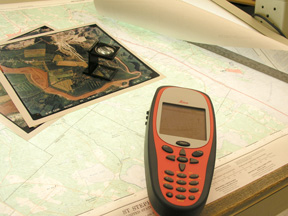
Maritime Provinces. Researchers (including graduate students) have
access to GIS, AutoCAD, remote sensing, graphical and seismic interpretation
software as well as differential GPS equipment, total station for surveying,
large format plotter, digitizing tablet and an EM38 conductivity meter.
The
Maritime Provinces Spatial Analysis Research Centre (MP_SpARC) is a
computer-based, cross-discipline unit dedicated to spatial analysis using
geomatics technologies. It was opened in 2003 with funding from the
Canadian Foundation for Innovation, Nova Scotia Innovation Trust Fund and
various industry sponsors. The purpose of the unit is to provide the
necessary infrastructure and geomatics software to support research within the
Maritime Provinces. Researchers (including graduate students) have
access to GIS, AutoCAD, remote sensing, graphical and seismic interpretation
software as well as differential GPS equipment, total station for surveying,
large format plotter, digitizing tablet and an EM38 conductivity meter.
|
Contact Information:
Greg Baker Hours
(Academic Year): Summer Hours: |